Blog Post by: Nolan Johnson, Archeologist
Landscapes can change quickly due to both natural phenomena and human activities. Whole towns can be washed away or moved both of which happened to Niobrara. Other places can fade away to nothing and be forgotten or nearly so. Such as the ghost town of Calamus, NE. Calamus was founded in 1874 and grew alongside nearby Fort Hartsuff which began in the same year. The fort was closed in 1881, and the town began to wither, and the final blow was a devastating windstorm in 1885. Northing remains of Calamus today, but the location is marked by a historic marker, Calamus Townsite | Explore Nebraska History.
However, Fort Hartsuff has endured and is now a State Historic Park, Fort Hartsuff | Nebraska Game & Parks Commission. For more information about the history of the fort check this blog, Fort Hartsuff State Historical Park – Nebraska State Historical Society.
One of the luxuries of being an archeologist in the 21st century is the plethora of maps, LIDAR, air photos, and other spatial data that are available at the touch of a keyboard. These allow a single location to be viewed at different points in the past. The following images are views of the location of Fort Hartsuff beginning with the 1870 Government Land Office map drawn four years before the fort was founded and a Modern aerial image. These images allow us to see both what has changed and what has remained the same at Fort Hartsuff. See if you can spot the parade ground oval in some of the images. Enjoy this trip through time.
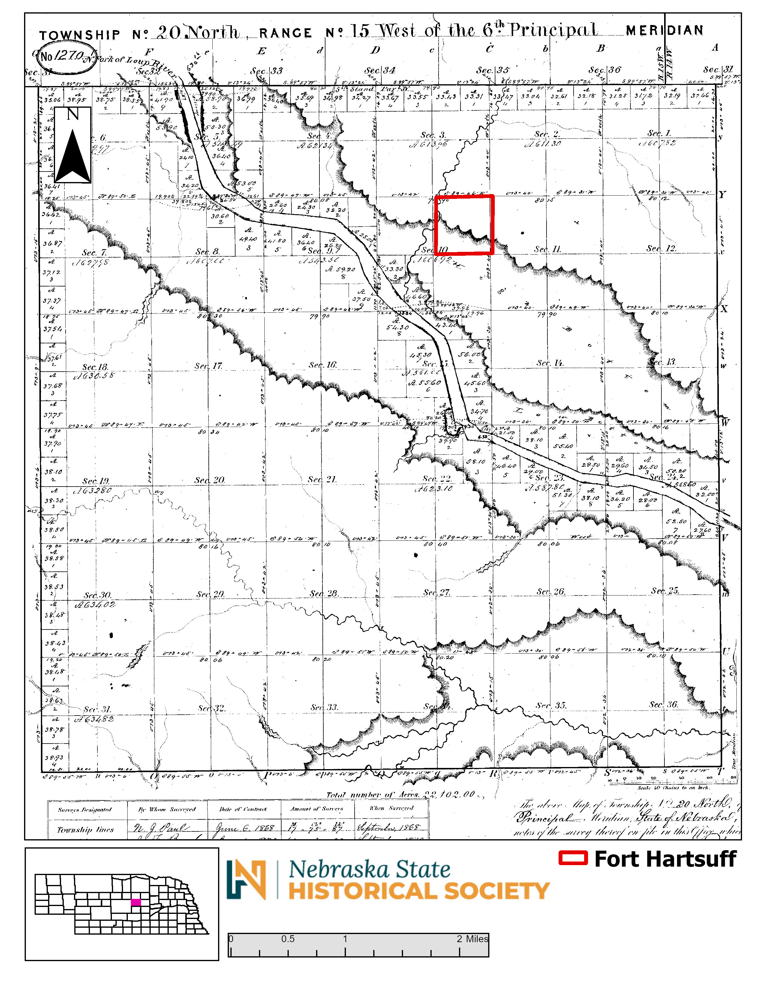
Fort Hartsuff Location in 1870 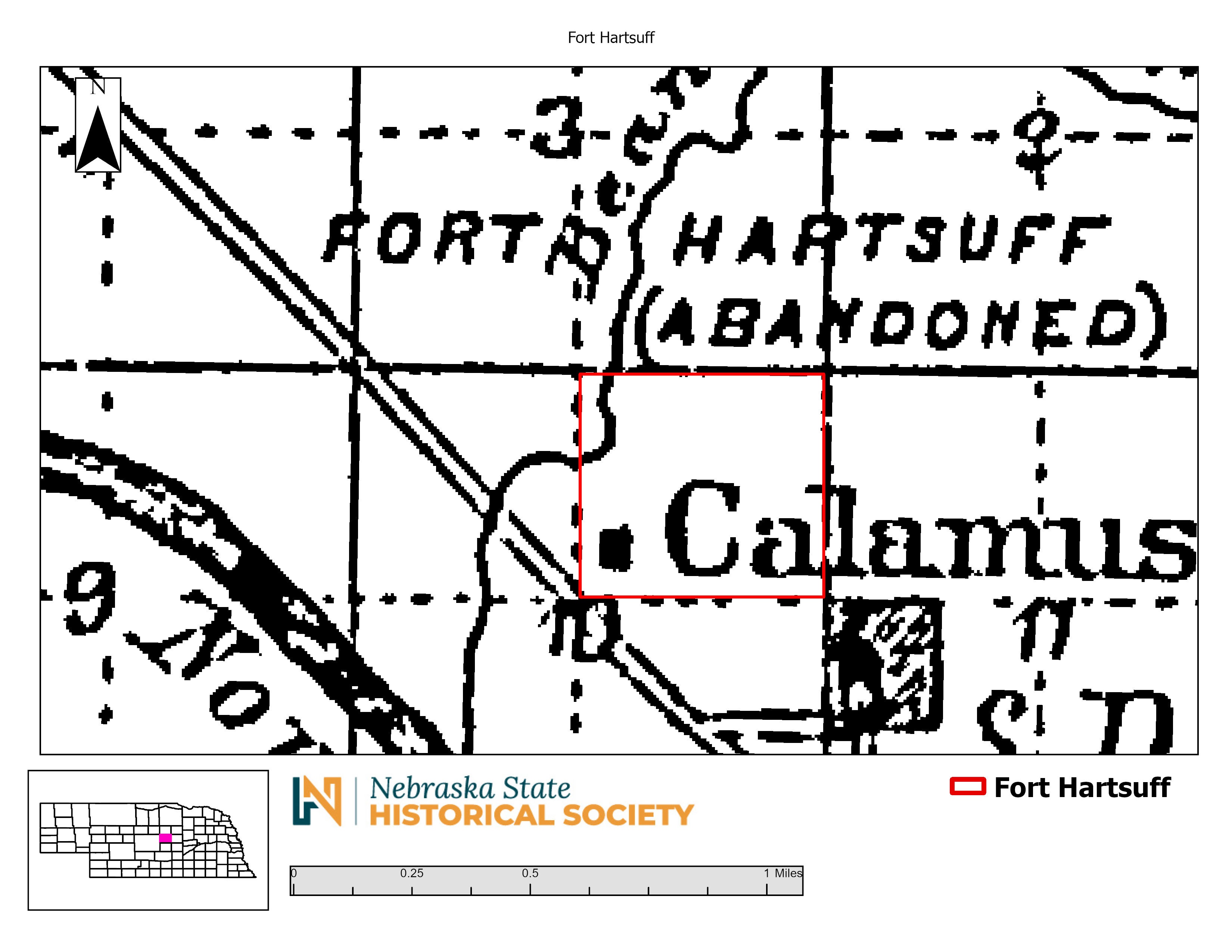
Fort Hartsuff Location on the 1885 State Atlas 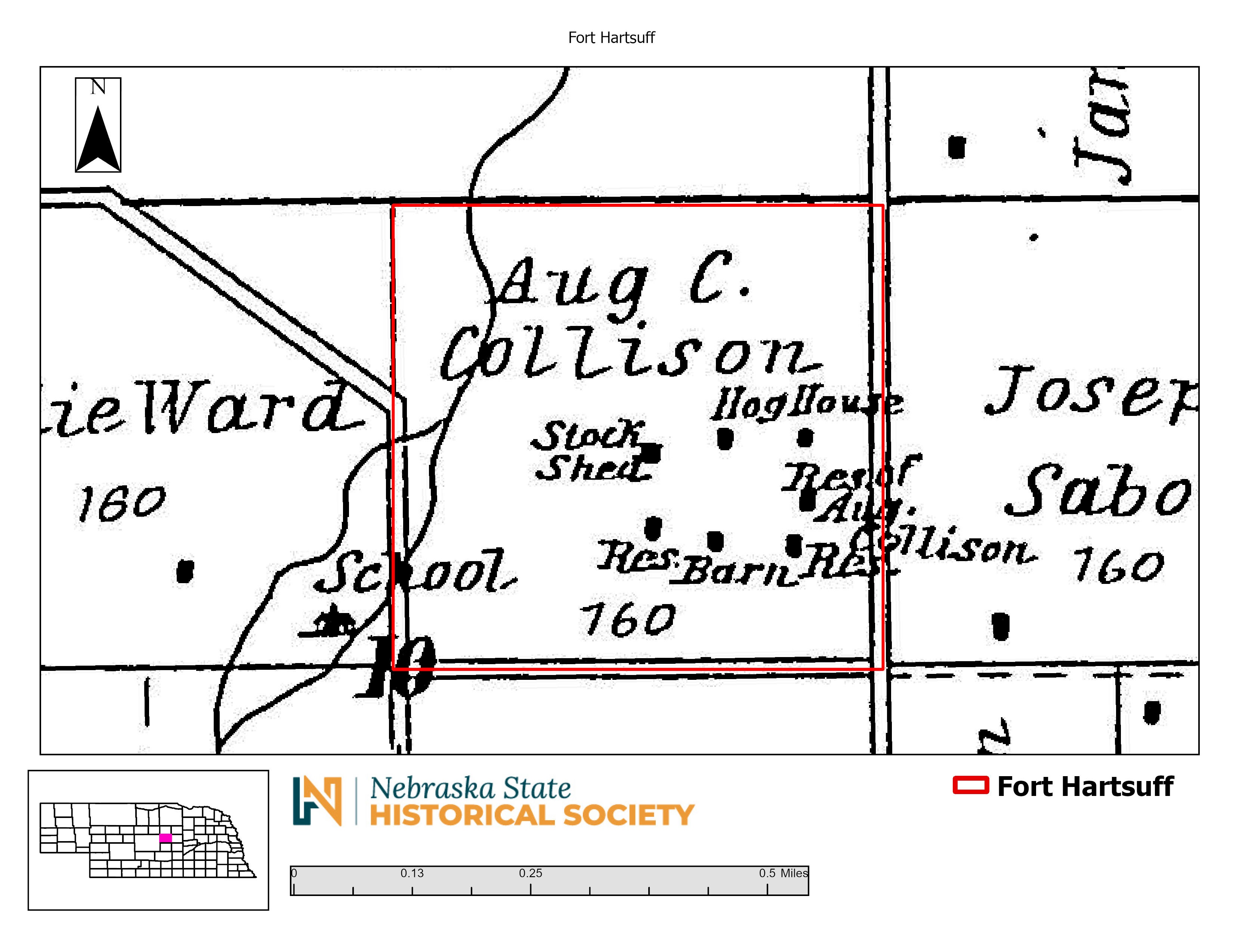
Fort Hartsuff on the 1904 Plat Map 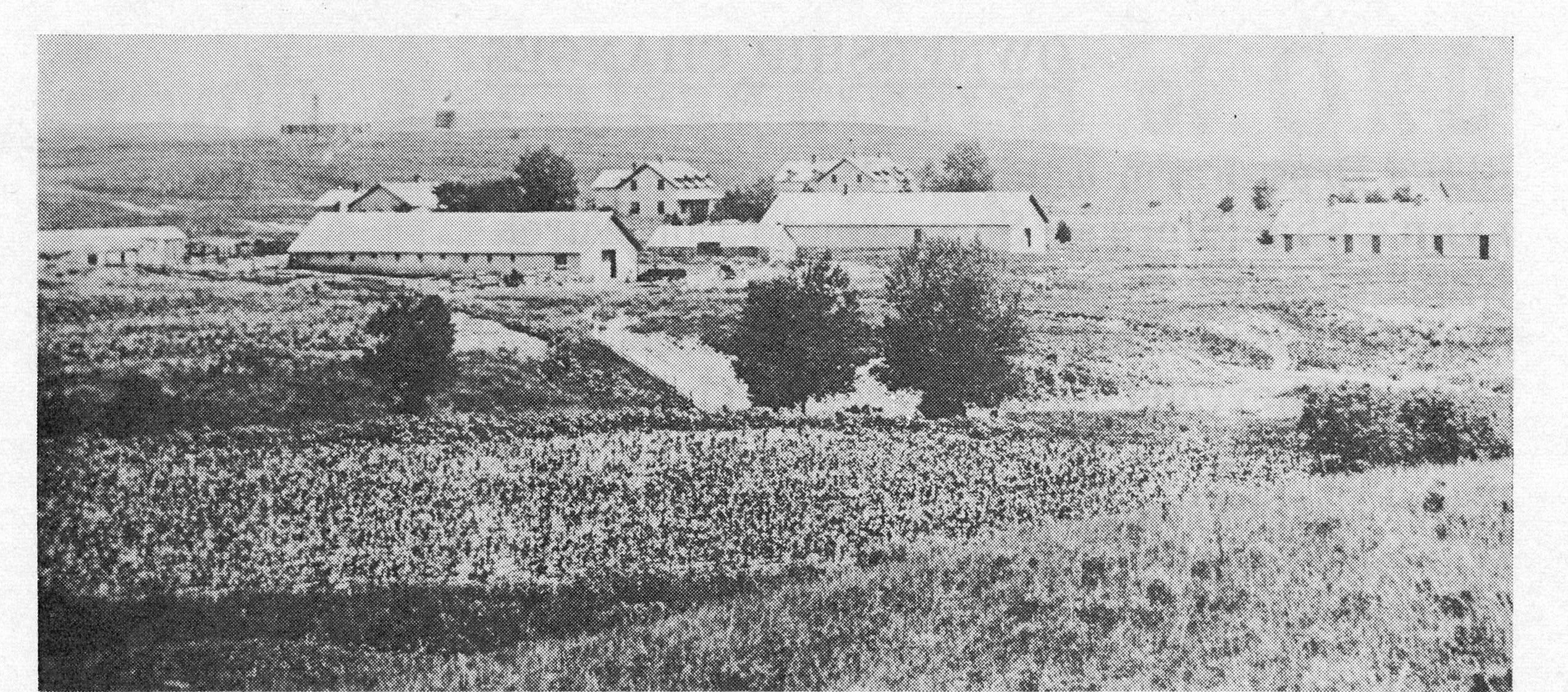
Fort Hartsuff in 1881 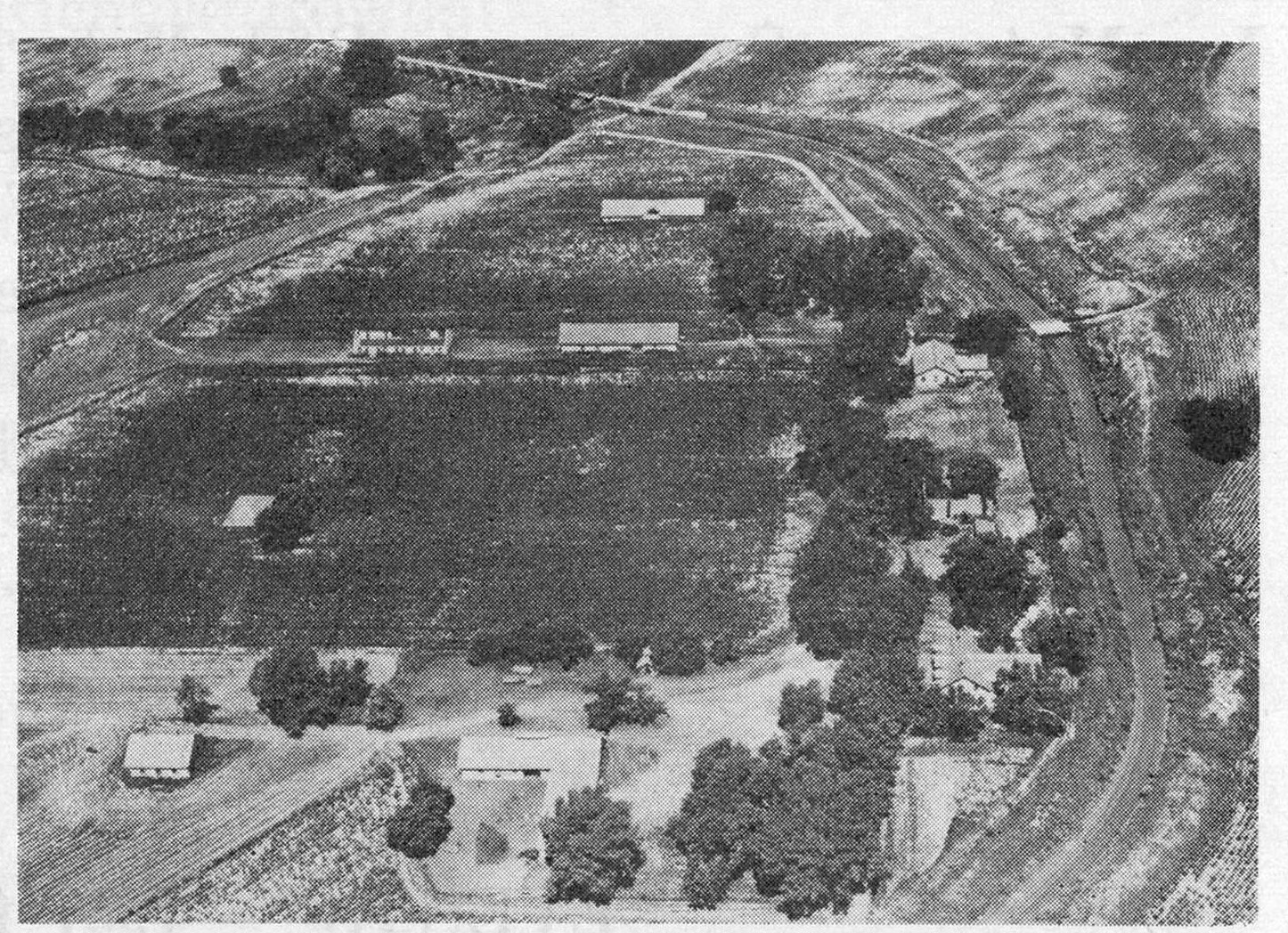
Fort Hartsuff Location in a 1951 Air Photo 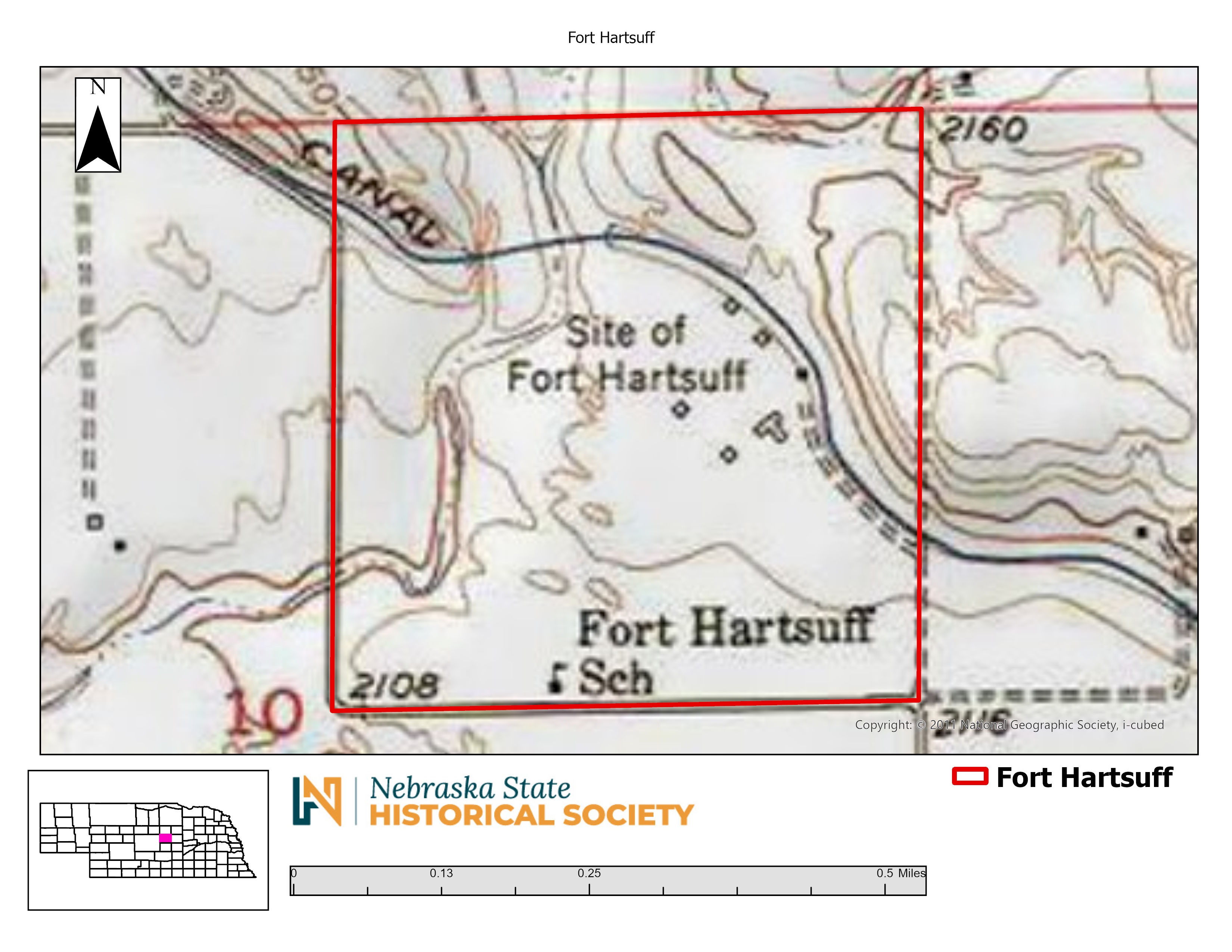
Fort Hartsuff Location on a 1952 Topographic Map 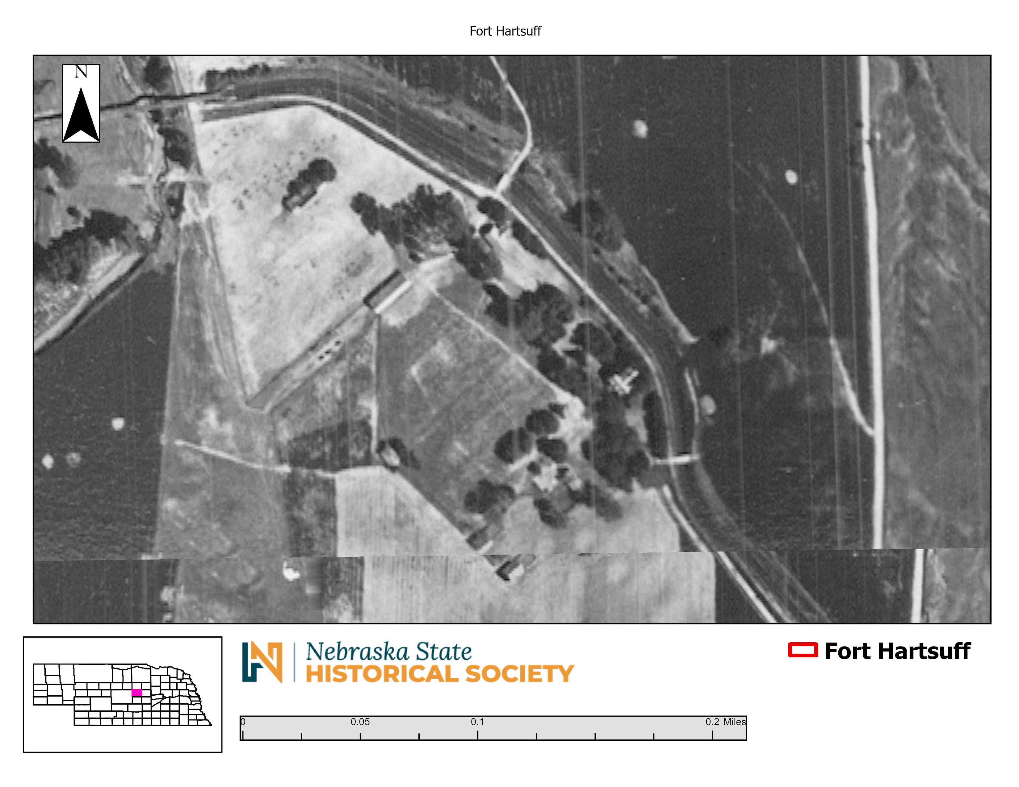
Fort Hartsuff Location on a 1957 Aerial Image 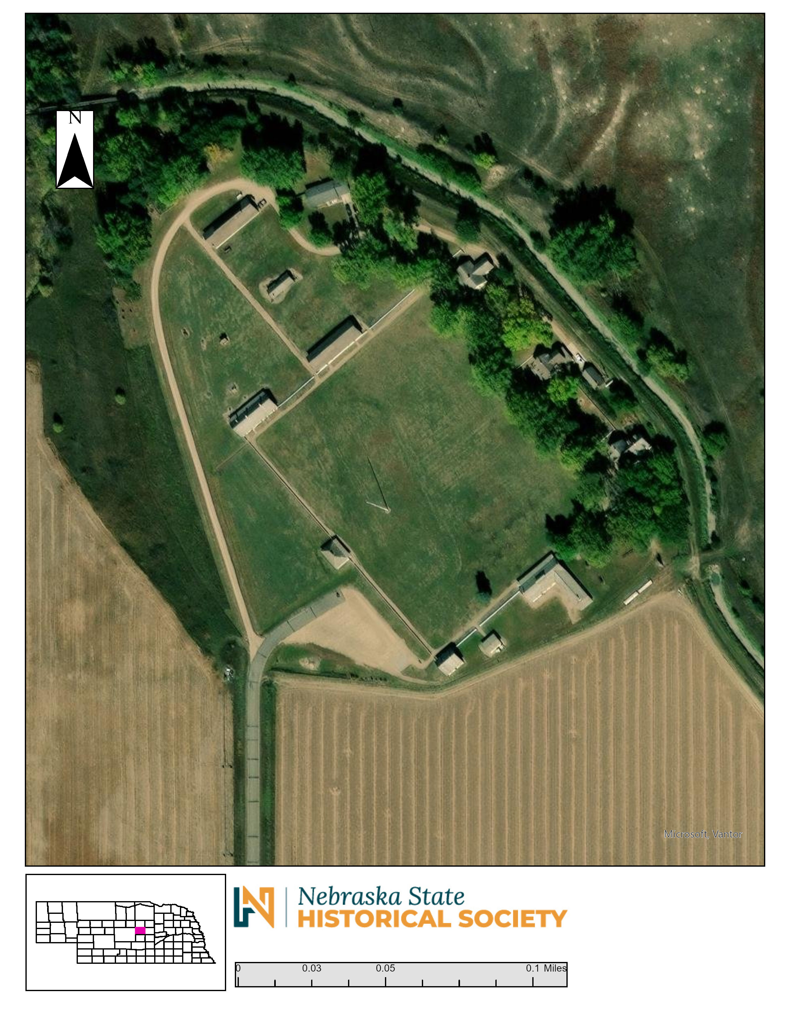
Fort Hartsuff Location on a Modern Aerial Image 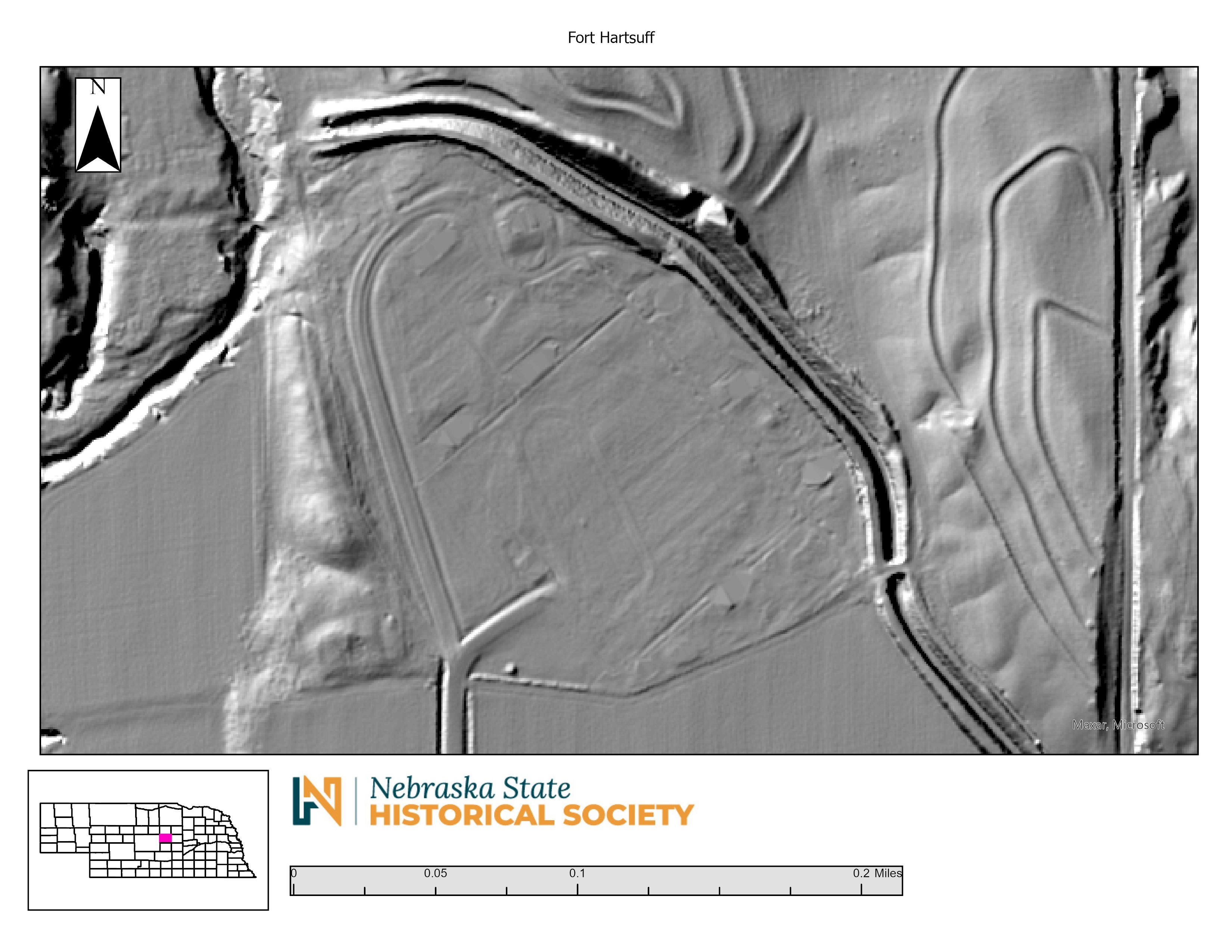
Recent 1 Meter LiDAR of the Fort Hartsuff Location
